
Finding Daly City Street Residents
A street directory search works best as an address chain. Begin with the exact number, street spelling, unit when known, and the municipal or postal locality. The goal is to identify a parcel and date each record, not to turn one public field into a claim about every household. San Mateo County GIS and ACRE parcel resources provide the crosswalk from street address to APN. The Recorder then supplies dated legal parties, while municipal permits and historical directories provide supporting context.
Follow the same order for one address or a careful parcel-by-parcel walk along a street:
- Normalize the number, street name, suffix, unit, and locality; keep old and current forms in separate notes.
- Find the parcel in the county map or assessor resource and copy the APN, situs, map reference, and document number.
- Use the APN and legal description to test the current property lead, keeping mailing destination separate from situs.
- Search the owner or recorded party in RecorderWorks, match the instrument to the parcel, and work backward by seller and date.
- Add permits, code cases, court or probate records, and older directory entries only when their dates and address evidence align.
For a whole street, browse mapped parcels one at a time. A visual map is a starting point, not a resident roster.
Daly City Street Records by Address
The Daly City street directory is assembled from records keyed to different parts of an address. GIS shows geometry and jurisdiction. The assessor and tax routes describe parcel facts and notice destinations. RecorderWorks identifies parties to recorded instruments. Building and Planning files identify applicants, contractors, inspections, and legal-use history. Historical directories may name people associated with a business or civic institution at an address.
| Record set | Keeper | Street evidence | Access |
|---|---|---|---|
| Assessor parcel and map | San Mateo ACRE | APN, situs, map, assessed characteristics | Online parcel resources and maps |
| County GIS | San Mateo County GIS | Parcel geometry, districts, boundaries, zoning layers | Free map viewer and open data |
| Tax bill and status | County Tax Collector | APN and notice destination | Separate tax lookup |
| Recorded instruments | ACRE Recorder | Grantor, grantee, date, legal description | Free index from 1985; counter for images and older books |
| Permits and code cases | Daly City Building and Planning | Applicant, contractor, scope, inspections, legal-use history | EnerGov search or CPRA request |
| Historical address sources | Libraries and archives | Past occupant, business, phone, or civic affiliation | Collection or reading-room rules apply |
The parcel number is the strongest bridge between the map, assessment, deed, and permit record. The San Mateo County property-tax route adds bill and payment context, but its mailing destination is still distinct from the situs. The street name is useful for browsing, but names and boundaries change. Keep the exact source field beside the conclusion it supports.
Resolve a Daly City Address
ACRE's parcel-information route and assessor maps are the first stop when the address is known. The county feature data can expose complete situs components, situs city and state, APN, assessor map, year built, land area, gross building area, use code, document number, and geometry. Planning instructions describe a nine-digit APN format with the dashes removed for a query. Retain leading zeroes and compare the returned situs before moving to another source.
Open the San Mateo parcel-information resources for the property route and use assessor maps when the address search is uncertain. If the parcel appears retired, combined, or outside Daly City jurisdiction, compare the map, lot and block, subdivision, and legal description. The city line, zoning, and tax district can differ even when the mailing label sounds local.
The county parcel-information page is the bridge from a street address to the APN and property card.
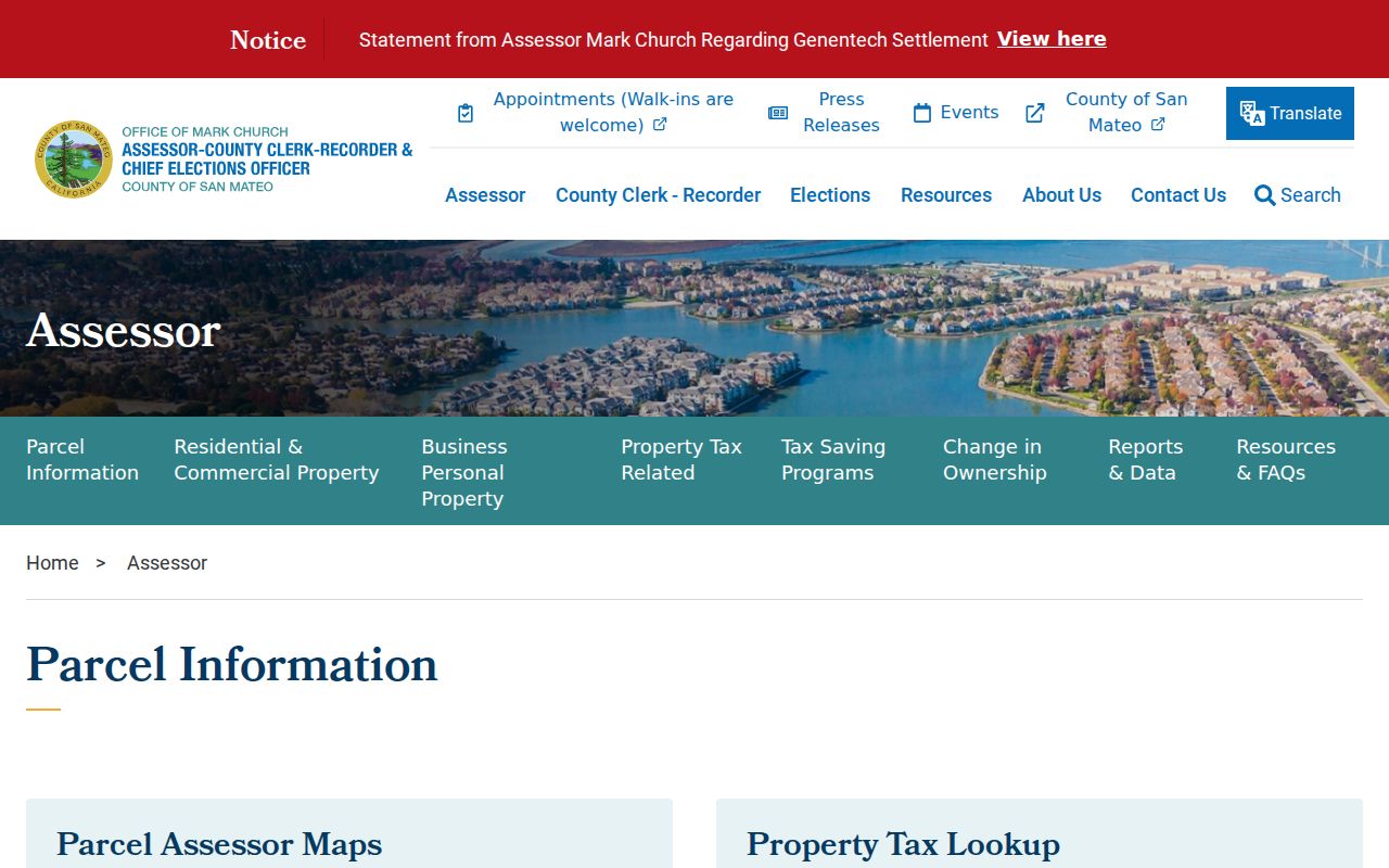
Once the APN is stable, the same identifier can be tested in the map, deed index, tax route, and municipal file.
- APN
- Assessor Parcel Number, the county key for a mapped land unit.
- Parcel
- A mapped unit of land, which may contain one or more structures or units.
- Plat
- A recorded subdivision map showing lots, blocks, streets, and easements.
- Legal description
- The durable written or mapped identity used to match a deed to land.
Note: A normalized address is a search aid; the APN and legal description decide whether two records refer to the same land.
Daly City Assessor Fields by Street
A street directory needs more than an owner label. The ACRE parcel card can help connect an address to the APN, map, use, building facts, transfer or change dates, and notice destination where disclosure permits. California assessment values reflect the assessment system and should not be presented as a current market opinion. The public owner-name route is constrained, so search by address or APN and use the card as a dated property lead.
| Field or control | Type | Use in an address search |
|---|---|---|
| Assessor Parcel Number | Segmented or text | Primary key; preserve the portal's digits and separators. |
| Situs or property address | Address components | Normalize number, street, suffix, and unit. |
| Map book and page | Map browse | Checks parcel shape and neighboring APNs. |
| Owner names | Combined display | Possible ownership lead; not a complete occupant field. |
| Use, area, and year built | Parcel attributes | Context for comparing adjacent properties and eras. |
| Tax lookup link | Separate route | Bill or payment facts; mailing destination can differ from situs. |
The assessor map access page shows how the county routes address and parcel research.
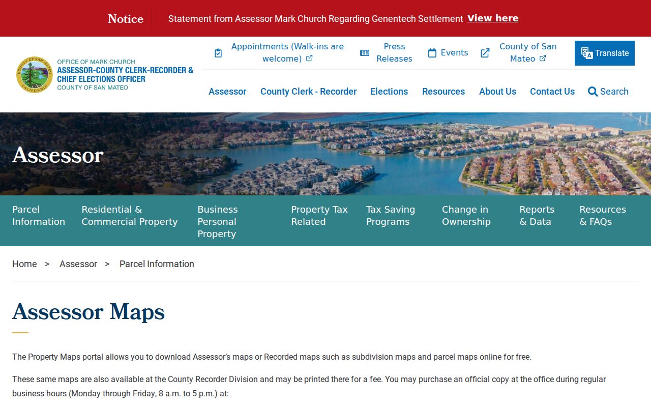
A map view is valuable for the next step, which is checking whether the deed and permit record carry the same parcel identity.
Note: The assessor map locates land and neighboring APNs; it does not disclose every person associated with a structure.
Walk Daly City Parcels in County GIS
San Mateo County GIS is the street-by-street visual layer. Search or zoom to the subject address, activate parcel geometry, select the polygon, and note the APN, map tip, city or county flag, and surrounding jurisdictions. Pan across adjoining and opposite parcels, then compare each APN with the assessor route. Identify and measure tools may vary by viewer, so treat the map as a planning aid and click through to the authoritative record.
The county data schema can expose parcel geometry, situs components, map references, use descriptions, year built, area, zone ID, document number, and retired status. It does not expose every owner mailing address or exemption. Daly City zoning remains municipal, while the GIS gateway may show county-wide layers such as hazards, districts, and unincorporated areas. Use the San Mateo County GIS gateway for the map and open data, then confirm the result with ACRE.
GIS makes an entire street visible at parcel scale. It still does not show the people who enter or leave a building, and a visual buffer is not a legal boundary.
Daly City 3R Reports and Permit History
Daly City's Residential Requirements Report, or 3R, is a standout local address source. It applies before sale of property with three or fewer units, is valid for six months, and includes permit history after January 1989, enforcement history, zoning history, and the city's determined legal use. The report costs $124 from July 1, 2025 and is emailed within three working days under the current research record. It cannot reveal unpermitted work.
Apply online or contact Building Division at City Hall, second floor, 650-991-8061, with the address and request details. The broader Daly City EnerGov public portal advertises public permit search, eligible quick permits, code cases, requests, businesses, fire occupancies, and operational permits. The research did not verify the configured field labels or older coverage cutoff, so use the portal's live search and ask Building and Planning for an older address jacket under the CPRA.
A 3R report adds a municipal chronology to the county parcel and deed trail. It does not convert an applicant or owner name into a list of current residents.
Trace Daly City Streets Through RecorderWorks
RecorderWorks covers property documents recorded from January 1, 1985 through the current partial recording date. Name search offers All, Grantor, and Grantee roles, partial matching, a date range, and document-type filters. APN mode takes nine digits without dashes. The document menu includes deeds, deeds of trust, liens and releases, reconveyances, easements, maps, subdivision instruments, court orders, divorce decrees, and many other recorded items.
Search the party in both roles when the goal is a chain. A grantee may be the buyer on the acquisition deed. The grantor may be the seller who acquired the parcel earlier. Match every result to the legal description or APN, because a common name can connect unrelated instruments. The online system has no document images for privacy reasons, but public terminals at 555 County Center provide free viewing. Copy and certification routes are available through the Recorder.
The RecorderWorks portal shows the online grantor-grantee search route and its coverage notice.
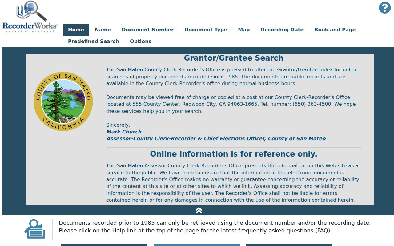
When the online index stops, continue through older grantor and grantee books at the counter rather than treating the cutoff as the end of the property history.
Note: Search both party roles and preserve the recording date because a street directory is a time series, not a live title statement.
Pre-1985 Daly City Deeds at the Counter
Earlier deeds are not missing simply because the online name index begins in 1985. The Recorder's physical counter and historical books are the fallback. Bring a supplied instrument number, party name, approximate date, APN, book-page reference, or legal description. A clerk can describe access and copy mechanics, but the office does not choose a legal form or give title advice. Documents can be viewed free at the office during normal business hours.
For a copy request, distinguish an existing recorded instrument from a research request. The current research notes list separate charges for filed paper, certification, recorded maps, research files, conformed copies, and recording services. Confirm the live fee schedule before sending payment. In-person payment accepts cash, check, Visa, or Mastercard; mail requests need a preprinted U.S.-bank check.
Use the older book search to bridge a street's early owners, then verify the legal description in the instrument. A name-only result is not enough when Daly City's neighborhoods have shifted between county, postal, and municipal labels.
The county clerk-recorder page explains the counter, record groups, contact route, and payment options.
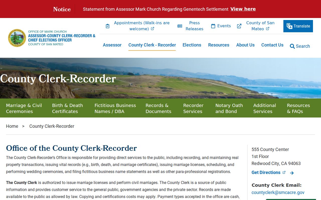
Take the instrument reference from the online index or a prior deed when asking for an older book or copy.
Reverse Directories for Daly City Addresses
Historical reverse or criss-cross directories can work from an address instead of a surname, but the local shelf run is not verified as a complete household collection. The identified Daly City/Colma volumes are commercial and civic directories. They can show businesses, phones, officials, schools, churches, organizations, and some address associations. They may omit a private household, use an older street number, or reflect a publication year rather than a move date.
Search the digitized volume full text, inspect the page image, and record the exact number, street, phone exchange, business, and publication year. Compare the address to the APN, Sanborn map, permit file, newspaper, census, or deed. The broader historical shelf and entry-reading method are explained in the Daly City city directory collection.
Criss-cross directory: an address-keyed directory that may connect a street location with a listed name or phone. It is a historical lead, not a current occupancy file.
Daly City ZIP Labels and Street Names
Postal geography can make a street directory look inconsistent. Daly City's street-delivery ZIPs are 94014 and 94015, and both statistical ZCTA areas extend outside the incorporated city. Broadmoor remains outside Daly City even when a postal identity sounds local. Older directories may use Colma, Broadmoor, San Francisco, or San Mateo County headings. Westlake was annexed in 1948, while the research found no official citywide renumbering year.
When a historic street number fails, compare APN, lot, block, subdivision, map, and legal description. Do not assume the family moved because the old label differs. The Daly City ZIP code directory handles postal boundaries separately; the street directory should stay focused on parcel and address continuity.
Note: A postal city, municipal boundary, neighborhood name, and parcel jurisdiction can all describe the same Daly City mailing address differently.
Daly City Street Directory Limits
A street directory cannot identify every nonowner occupant, household member, visitor, or person whose address is protected. DMV address records are closed under the federal Driver's Privacy Protection Act and California law. Utility customers, library borrowers, delivery records, and private community rosters are not public resident lists. The voter file is purpose-restricted, and California's Safe at Home program can shield eligible participants with a substitute address.
Lawful use. Daly City street and parcel records are appropriate for personal research, genealogy, property history, and civic understanding. Do not use an address record to stalk, harass, threaten, or intimidate anyone. Verify material facts with the agency that keeps the record.
The result of a careful search should state exactly what was found, where, and when. That wording protects the distinction between an owner, a recorded party, an applicant, a historical listing, and a current resident.